AUSTIN ATLAS / 0130.2672° N · 97.7431° W
N
1 mile approx.
SELECT A PLACE. GET A FEEL FOR IT.Six starting points
01 / THE NEIGHBORHOODS
Clarksville
History, close to the heart of it.
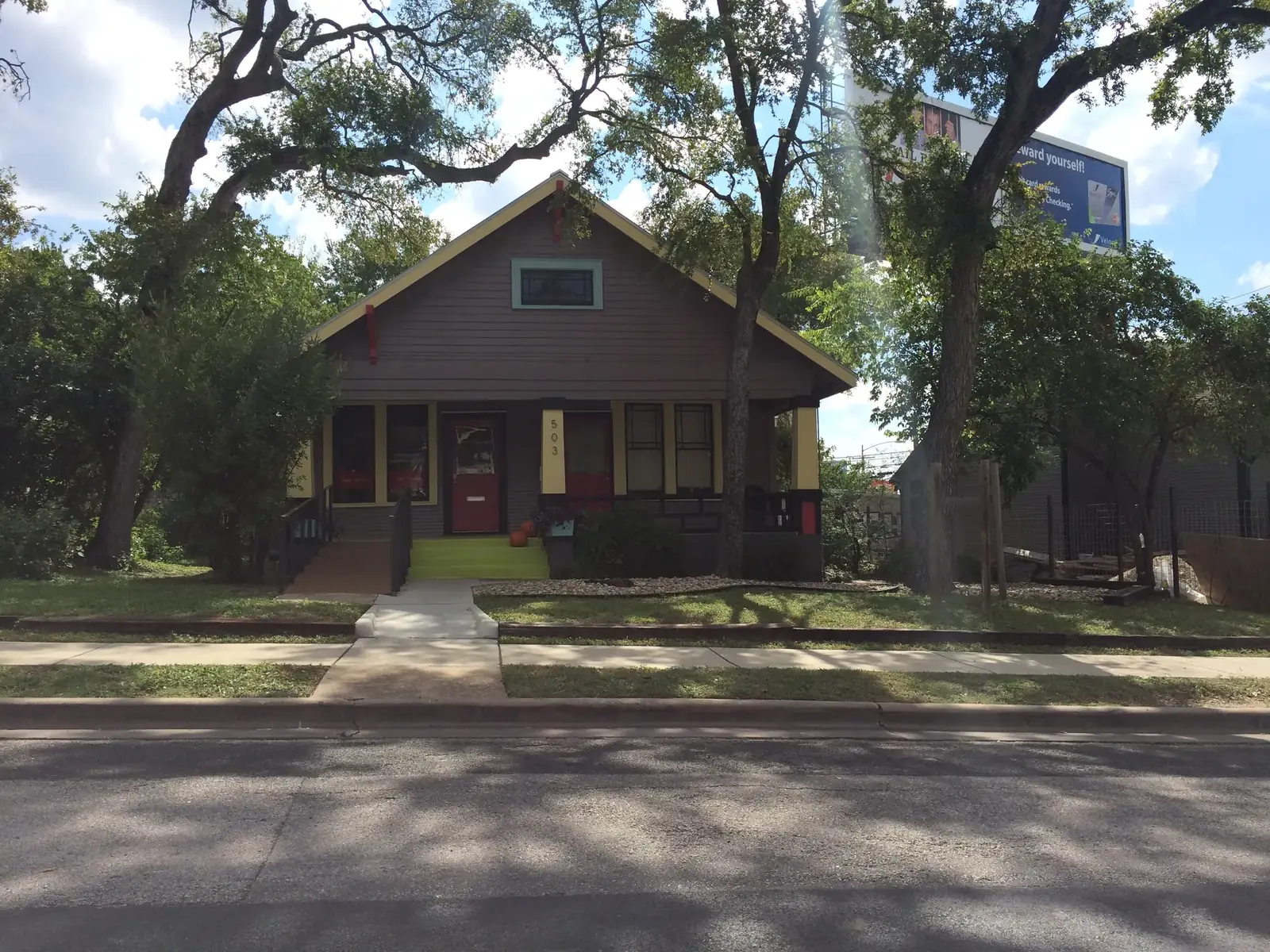
West Line Historic District, Austin · Mwhitman6 · CC BY-SA 3.0 · Wikimedia Commons · Austin context, not an area boundary
A small pocket of West Austin with a long history. Residential streets and the West Lynn corridor invite a closer look at the scale of the neighborhood.
Map: City of Austin, Geospatial Services – Data Development. Hyde Park and Bouldin Creek use planning areas; other extents are approximate editorial guides. Pattern is illustrative, not a street map. Lakes: City of Austin hydrology. Map notes ↗
FROM NEIGHBORHOOD TO ADDRESS
Once a place feels right, investigate the parcel.
Use the Austin Property Research Desk to organize official City records, permit history, flood context, historic status, trees and private restrictions.
Open the research desk