FIELD NOTES / NEIGHBORHOOD COMPARISONS
Tarrytown, Austin vs. Clarksville, Austin: a West Austin comparison
Tarrytown, Austin and Clarksville, Austin are two West Austin neighborhoods that look alike in photographs and differ in the records: Clarksville is a National Register historic district listed December 1, 1976 and founded by a freedman in 1871, while Tarrytown has no City planning area of its own and sits outside the Old West Austin historic district that many listings assume it is in. Both share ZIP 78703, the same five taxing units and the same August 2026 City of Austin median sale price of $560,000 from Unlock MLS, a figure that describes neither neighborhood. Here is how the historic rules, parks, bus routes and the property-tax reset on a long-held home differ, and how to compare one real address in each.
By David Eimer · Austin Journal · 11 minute read · Published
The numbers
- Clarksville Historic District listed
- December 1, 1976As of National Register reference 76002070
Bounded by W. Lynn, Waterson, W. 10th and MoPac, per the Texas Historic Sites Atlas; styles recorded as Bungalow/Craftsman and Late Victorian.
Source: Texas Historical Commission, Texas Historic Sites Atlas ↗
- Old West Austin Historic District listed
- September 12, 2003As of National Register reference 03000937
Roughly bounded by West 13th, Lamar Blvd., W. 35th and MoPac. Tarrytown lies outside it.
Source: Texas Historical Commission, Texas Historic Sites Atlas ↗
- Central West Austin Combined Neighborhood Plan
- Adopted September 23, 2010As of Ordinance 20100923-102
Covers the West Austin Neighborhood Group and Windsor Road planning areas. No planning area is named Tarrytown.
Source: City of Austin Open Data ↗
- Historic review threshold for demolition
- 45+ year-old buildingsAs of City of Austin historic properties page, retrieved September 26, 2026
The Historic Landmark Commission reviews demolitions and relocations of 45+ year-old buildings eligible for landmark designation, citywide.
Source: City of Austin Planning ↗
- Median sale price, City of Austin
- $560,000As of August 2026
Down 4.3% year over year, on 844 closed sales. A city figure, not a Tarrytown or Clarksville price.
Source: Unlock MLS ↗
- School homestead exemption, Austin ISD
- $140,000As of Tax year 2026
The City of Austin, Travis County and Central Health each exempt 20% of a homestead's value with a $5,000 minimum.
Where are Tarrytown, Austin and Clarksville, Austin, and what does 78703 cover?
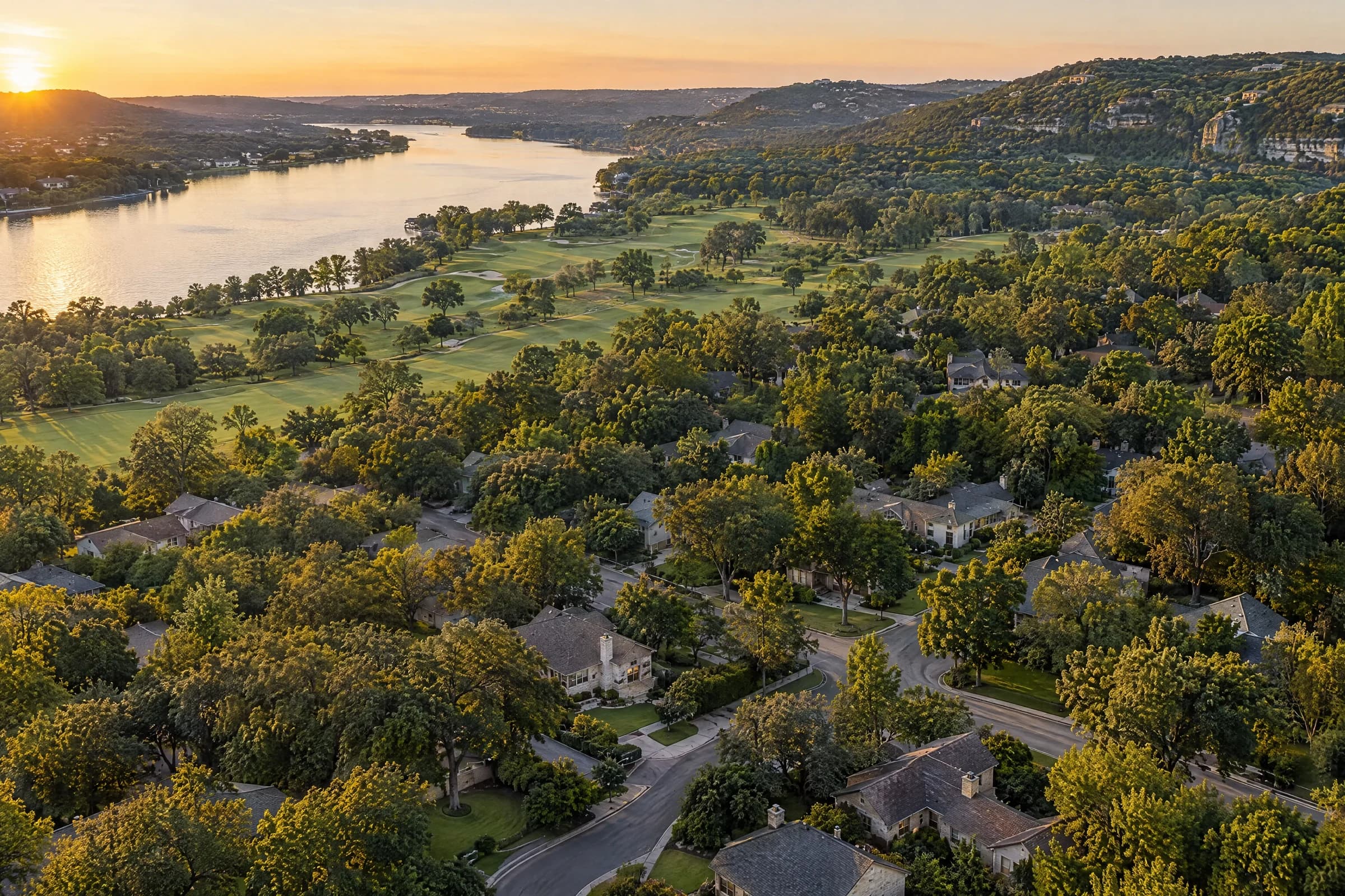
Tarrytown and Clarksville are two West Austin neighborhoods inside ZIP 78703, and the ZIP is larger than both, so a 78703 search returns Old Enfield, Pemberton Heights, Bryker Woods and Windsor Road addresses as well. The City of Austin's park directory lists Reed Neighborhood Park, Tarrytown Neighborhood Park, West Austin Neighborhood Park, Mayfield Park, Pease District Park and Lions Municipal Golf Course all at 78703 addresses, which gives a sense of the ZIP's reach from the lake to 35th Street.
Clarksville has the clearest boundary of the two because it is a National Register district. The Texas Historic Sites Atlas records the Clarksville Historic District as "Bounded by W. Lynn, Waterson, W. 10th and MO-PAC Expwy." and listed on December 1, 1976. The Old West Austin Neighborhood Association, whose area includes Clarksville, says "Old West Austin is bounded by Enfield Rd, Lady Bird Lake, N Lamar Blvd & Mopac Expressway," and the City's list of adopted plans dates the Old West Austin Neighborhood Plan to June 29, 2000.
Tarrytown has no official line at all. The City's neighborhood planning-area layer contains no area named Tarrytown; the Central West Austin Combined Neighborhood Plan, adopted September 23, 2010 by ordinance 20100923-102, covers two planning areas called West Austin Neighborhood Group and Windsor Road, and whether a given Tarrytown address falls inside one of them is a map lookup rather than a given. The Tarrytown guide and the Clarksville guide on this site record every boundary and sourced figure for each, including why neither has a published neighborhood price.
Sources: City of Austin Parks and Recreation ↗ · Texas Historical Commission, Texas Historic Sites Atlas ↗ · Old West Austin Neighborhood Association ↗ · City of Austin Planning ↗ · City of Austin Open Data ↗
What is Clarksville's history, and what does the historic district mean for a buyer?
Clarksville was founded by a freedman in 1871, and its history is part of what a buyer is buying into. The Clarksville Community Development Corporation records that "in 1871, Charles Clark, a formerly enslaved man from Mississippi who had been living in Travis County, purchased two acres of land from Nathan Shelley, a former Confederate general," then "built a home for himself on the north side of what is now the 1600 block of West 10th Street and sold the rest of his acreage to other freedmen." Early residents organized the Sweet Home Missionary Baptist Church, and by July 1882 they had bought land for a church building for $50.
The Atlas lists the district's areas of significance as "Ethnic Heritage - Black, Exploration/Settlement, Architecture, Social History," with periods of significance from 1850 to 1924 and styles of "Bungalow/Craftsman, Late Victorian." The CDC's stated mission today is to "preserve the history of Clarksville, build and maintain a strong sense of community in the neighborhood and maintain the diversity of Clarksville through our affordable housing program"; it houses 17 low-income families in homes and duplexes across the neighborhood and runs the Hezikiah Haskell House as a museum. Our earlier post on Clarksville's history and a home search goes further into the community's story.
For a purchase, designation is address-specific. The City of Austin's historic properties page counts "nearly 700 historic landmarks," "8 local historic districts" and "18 National Register historic districts," says designated properties "require historic review for exterior changes and new construction," and directs buyers to its Historic Property Viewer map to check a single address. Old West Austin also holds three of the City's eight local historic districts, Castle Hill, Harthan Street and Smoot/Terrace Park, where "exterior site and building changes to contributing properties require review and approval by the Historic Preservation Office or Historic Landmark Commission" and qualifying rehabilitations can have "100% of City property taxes on the value added from the rehabilitation" abated "for 7 to 10 years."
Sources: Clarksville Community Development Corporation ↗ · Texas Historical Commission, Texas Historic Sites Atlas ↗ · City of Austin Planning ↗ · Old West Austin Neighborhood Association ↗
Is Tarrytown a historic district?
Tarrytown is not a historic district, and it is not inside the Old West Austin National Register district that listings sometimes place it in. The Texas Historic Sites Atlas records the Old West Austin Historic District, listed September 12, 2003, as "Roughly bounded by West 13th, Lamar Blvd., W. 35th, and Mo-pac Expressway," and this site's Tarrytown guide notes that the district covers Old Enfield, Pemberton Heights and Bryker Woods rather than Tarrytown. The West Line Historic District, listed October 12, 2005, runs "Roughly bounded by Baylor Street, W. Fifth & Sixth Streets, Mopac Expressway (Loop 1), and Twelfth and Thirteenth Streets," also east of Tarrytown.
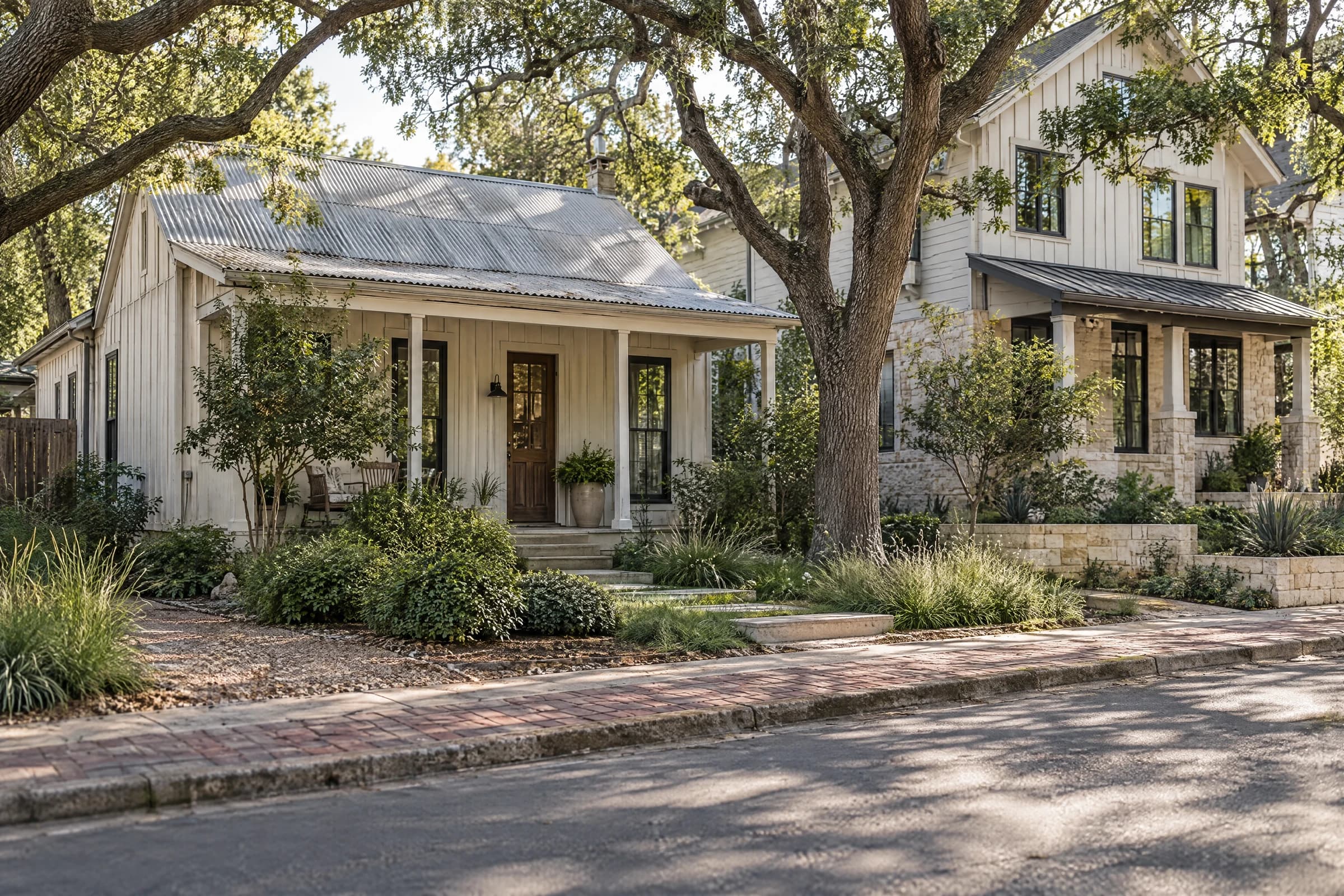
That does not make a Tarrytown house free of review. The Historic Landmark Commission "reviews proposed exterior changes to all these resources, as well as demolitions and relocations of 45+ year-old buildings eligible for landmark designation," a rule that is not limited to designated districts, and individual Tarrytown properties can carry their own landmark designation. A 1940s cottage on a large Tarrytown lot can therefore draw a demolition review that a designated Clarksville bungalow's owner might have expected and the Tarrytown buyer did not.
Historic districts in and around Tarrytown and Clarksville, as the Texas Historic Sites Atlas, the City of Austin and OWANA record them
| District | Type | Listed | Recorded boundary | Relevance |
|---|---|---|---|---|
| Clarksville Historic District | National Register | Dec. 1, 1976 | W. Lynn, Waterson, W. 10th and MoPac | Clarksville itself |
| Old West Austin Historic District | National Register | Sept. 12, 2003 | Roughly West 13th, Lamar Blvd., W. 35th and MoPac | Old Enfield, Pemberton Heights, Bryker Woods; not Tarrytown |
| West Line Historic District | National Register | Oct. 12, 2005 | Roughly Baylor St., W. 5th and 6th, MoPac, 12th and 13th | East of Tarrytown, adjoining the Clarksville district |
| Castle Hill, Harthan Street, Smoot/Terrace Park | City local historic districts | See City page | Inside Old West Austin per OWANA | City review of exterior changes; rehabilitation tax abatement |
| Tarrytown | No district | Not designated | No City planning area or district boundary | Individual landmarks possible; 45+ year demolition review applies |
The practical order of work for either neighborhood: open the City's Historic Property Viewer for the exact address, note whether it is a landmark, inside a local district, inside a National Register district or none of these, and only then price the alteration you have in mind. Our guides to buying an older Austin home and to renovating in a historic district cover the review steps in detail.
Sources: Texas Historical Commission, Texas Historic Sites Atlas ↗ · City of Austin Planning ↗
Which parks, pools and green space does each neighborhood touch?
Tarrytown's public open space is unusual for a central Austin neighborhood because it includes a 155-acre golf course, a 41-acre district park and a 23-acre preserve with peacocks, all listed by the City's park directory at 78703 addresses. For Clarksville, the directory lists West Austin Neighborhood Park at 1317 W. 10th Street, 3.27 acres, on the street where the CDC records Charles Clark building his home in 1871, and Pease District Park at 1100 Kingsbury Street, 41.49 acres.
City parks at 78703 addresses, as the City of Austin park directory lists them
| Park | Address | Acres |
|---|---|---|
| Lions Municipal Golf Course | 2901 Enfield Rd. | 155.62 |
| Mayfield Park | 3805 W. 35th St. | 23.331 |
| Reed Neighborhood Park | 2614 Pecos St. | 6.369 |
| Tarrytown Neighborhood Park | 2106 Tower Dr. | 2.2502 |
| Pease District Park | 1100 Kingsbury St. | 41.4897 |
| West Austin Neighborhood Park | 1317 W. 10th St. | 3.27 |
Lions Municipal Golf Course, at 2901 Enfield Road, is the largest. The City's GolfATX page says "in 1924, the Lions Club opened Lions Municipal, the first public golf course in the city," on land leased from the University of Texas's Brackenridge Tract, and that the course is "listed on the Registration of National Historical Places by the National Park Service" and "recognized as one of the first courses in the South to desegregate prior to the Supreme Court decision in Brown V. Board of Education in 1954." Mayfield Park's cottage was built between 1860 and 1880, purchased by Allison Mayfield in 1909, and willed to the City by Mrs. Gutsch in 1971; the peacocks descend from birds gifted in 1937, and the park is open every day from 5 a.m. to 10 p.m.
Deep Eddy Pool at 401 Deep Eddy Avenue is the nearby swimming draw. The City calls it "the oldest swimming pool in Texas," built as a concrete pool in 1915 by A.J. Eilers Sr., filled from wells on site, and open in 2026 from March 14 through October 31 with Tuesdays closed. The City's pool fee schedule charges $5 for a resident adult and $9 for a non-resident at Deep Eddy, Barton Springs and the other regional pools it names, from Austin ISD spring break through the end of October. Our post on Tarrytown's parks and a home search shows how to use them as the day's structure.
Sources: City of Austin Parks and Recreation ↗ · City of Austin GolfATX ↗
How do you get downtown from Tarrytown or Clarksville by bus?
Tarrytown and Clarksville share one CapMetro local route, the 18 Martin Luther King; CapMetro's Rapid lines run other corridors, North Lamar and South Congress for the 801 and Burnet Road and South Lamar for the 803. The 18's schedule effective August 16, 2026 through January 9, 2027 shows the route entering the area by Exposition Boulevard, Lake Austin Boulevard and Enfield Road, crossing MoPac, and running by 15th Street into downtown, then to the University of Texas, Dell Seton Medical Center and MLK Station before continuing east to the Expo Center Park & Ride. Its listed destinations include O. Henry Middle School, LCRA, an HEB and Fresh Plus Grocery on the west end.
A local route stops more often and runs less frequently than the Rapid lines, so the useful test is a timed trip from the candidate address at the hour you would ride, using CapMetro's trip planner, including the walk to and from the stop on Exposition or Enfield. A Clarksville address near West Lynn Street and a Tarrytown address near Exposition and Windsor can share a bus and still have very different walks to it.
The same applies on foot and by bike. Our route test for a move to Austin and the earlier field note on Tarrytown on foot describe how to walk a shortlist's daily routes before an offer, and which crossings on Enfield, Windsor and Exposition to time rather than assume.
Sources: CapMetro ↗
What do Tarrytown and Clarksville homes cost, and what happens to the tax bill when a long-held home sells?
No primary publisher reports a Tarrytown, Clarksville or 78703 median sale price. Unlock MLS's August 2026 Central Texas Housing Report gives the City of Austin a median of $560,000, down 4.3% year over year on 844 closed sales, with 4.6 months of inventory and an average close-to-list price of 93.3%; the metro median was $412,000. The market page carries those figures each month, and none of them is a 78703 price. For a shortlist, the comparison that holds up is the last few closed sales of similar homes on similar lots in the same neighborhood, which David can pull from the MLS for any address; you can browse 78703 homes for sale on the listings page and run any asking price through the payment estimator there.
What a 78703 buyer should model instead is the tax reset. Texas caps the annual increase in a homestead's appraised value at 10% of the prior year's appraised value plus new improvements, but the Comptroller's guidance says the limitation "takes effect on Jan. 1 of the tax year following the year the property owner qualifies for the homestead exemption" and "expires on Jan. 1 of the tax year following the year the property owner no longer qualifies." A house held for decades in Tarrytown or Clarksville can carry an appraised value far below market; when it sells, the cap expires with the seller, the buyer is appraised at market value, and the buyer's own cap only begins the year after they qualify. Budget from the parcel's market value, not the seller's last bill.
The taxing units are the same for both neighborhoods: the City of Austin, whose adopted rate for fiscal year 2026-27 is $0.579948 per $100 of assessed valuation per its August 12, 2026 budget release, plus Travis County, Austin ISD, Austin Community College and Central Health. The Travis Central Appraisal District's 2026 exemption listing shows what each unit exempts from a homestead.
Homestead exemptions for tax year 2026 by taxing unit, per the Travis Central Appraisal District's exemption listing
| Taxing unit | General homestead exemption | Over-65 exemption |
|---|---|---|
| Austin ISD | $140,000 | $60,000 plus $25,000 local option |
| City of Austin | 20% of value, $5,000 minimum | $204,000 |
| Travis County | 20% of value, $5,000 minimum | $145,269 |
| Austin Community College | 1% of value, $5,000 minimum | $75,000 |
| Central Health (Travis County Healthcare District) | 20% of value, $5,000 minimum | $197,000 |
The Comptroller notes that the general filing deadline for an exemption application is before May 1, and that a school district must exempt $140,000 of a homestead's value. Our post on budgeting from the actual parcel walks the full bill, and the property research desk lists the records to pull for an address.
Sources: Unlock MLS ↗ · Texas Comptroller ↗ · City of Austin ↗ · Travis Central Appraisal District ↗
How should you compare a Tarrytown address with a Clarksville address on showing day?
Write down the alterations that are essential to your purchase before the first showing in either neighborhood: an addition, a second unit, a garage conversion, a new front entrance or a larger outdoor room. Then check the exact address in the City's Historic Property Viewer, because a Clarksville bungalow inside the National Register district and a 1950s Tarrytown ranch can each face review, and neither the neighborhood name nor the listing description settles which.
On both visits, walk the space outside the rooms. Note how you would arrive with groceries, where bins go, where a guest parks, how the yard slopes and where water appears to collect, and check the address on ATXFloodPro.com; these are prompts for the inspection and survey, not diagnoses. A large Tarrytown lot can offer less usable outdoor room than a small Clarksville lot with a better layout, and a renovated house in one neighborhood next to a project in the other can create a misleading impression of neighborhood value.
Keep the asking price separate from the work, get qualified estimates for anything essential, and compare the two homes at similar levels of readiness. Then bring both addresses and your notes to David; he can pull closed comparables for each street, the parcels' appraisal, exemption and permit history, and a payment scenario at this week's rate. Start the conversation here.
Sources: City of Austin Planning ↗
Common questions
Is Clarksville in Austin a historic district?
Yes. The Texas Historic Sites Atlas records the Clarksville Historic District as listed on the National Register of Historic Places on December 1, 1976, reference 76002070, bounded by W. Lynn, Waterson, W. 10th and MoPac, with Bungalow/Craftsman and Late Victorian styles and significance in Black ethnic heritage, settlement, architecture and social history. Whether a specific address is a contributing property, and what review applies, is checked in the City of Austin's Historic Property Viewer.
Is Tarrytown in a historic district?
No. Tarrytown lies outside the Old West Austin National Register district, listed September 12, 2003 and roughly bounded by West 13th, Lamar Boulevard, West 35th and MoPac, which covers Old Enfield, Pemberton Heights and Bryker Woods. Individual Tarrytown houses can still be City landmarks, and the Historic Landmark Commission reviews demolitions and relocations of 45+ year-old buildings eligible for landmark designation anywhere in Austin.
What ZIP code is Tarrytown in?
Tarrytown addresses are in ZIP 78703, which the City of Austin park directory also uses for Lions Municipal Golf Course, Mayfield Park, Reed Neighborhood Park, Tarrytown Neighborhood Park, Pease District Park and West Austin Neighborhood Park. The ZIP is larger than Tarrytown: it takes in Clarksville, Old Enfield, Pemberton Heights, Bryker Woods and Windsor Road as well, so a 78703 search is not a Tarrytown search.
Does the homestead cap transfer when you buy a house in Tarrytown or Clarksville?
No. The Texas Comptroller says the 10% limitation on a homestead's appraised value expires on January 1 of the tax year after the owner no longer qualifies, and a new owner's limitation takes effect on January 1 of the year after they qualify for the exemption. A long-held 78703 home is appraised at market value for its buyer, so budget from the market value rather than the seller's capped bill.
How much are 78703 homes for sale?
No primary publisher reports a 78703 median. Unlock MLS's August 2026 report gives a City of Austin median sale price of $560,000, down 4.3% year over year on 844 closed sales, and an Austin-metro median of $412,000; neither describes Tarrytown or Clarksville, where lot size, age and designation vary block by block. Compare a shortlist against closed sales of similar homes in the same neighborhood, pulled from the MLS.
Which bus serves Tarrytown and Clarksville?
CapMetro's local Route 18 Martin Luther King is the route through both neighborhoods; its schedule effective August 16, 2026 through January 9, 2027 shows it running by Exposition Boulevard, Lake Austin Boulevard and Enfield Road, across MoPac and by 15th Street into downtown, then to the University of Texas and MLK Station. CapMetro's Rapid lines run North Lamar, South Congress, Burnet Road and South Lamar instead, so time the walk to the nearest Route 18 stop from the exact address with CapMetro's trip planner.
Take this to your next conversation
- List the alterations essential to your purchase, then check each shortlisted address in the City's Historic Property Viewer for landmark, local-district or National Register status before pricing the work.
- Ask the listing agent for the parcel's current appraised and market values from TCAD and model the tax bill at market value, because the seller's homestead cap expires at closing.
- Time the Route 18 trip and the walk to its stop from each address at the hour you would ride, and compare usable outdoor space and total project cost, not lot size alone.
Sources and review date
Sources checked . Planning suggestions are editorial guidance; current property facts and requirements need an address-specific check.
- Texas Historical Commission, Texas Historic Sites Atlas: Clarksville Historic District ↗
- Texas Historical Commission, Texas Historic Sites Atlas: Old West Austin Historic District ↗
- Texas Historical Commission, Texas Historic Sites Atlas: West Line Historic District ↗
- Clarksville Community Development Corporation: early Clarksville ↗
- Clarksville Community Development Corporation: our missions ↗
- Old West Austin Neighborhood Association: boundaries and historic districts ↗
- City of Austin Planning: historic properties ↗
- City of Austin Planning: local historic districts ↗
- City of Austin Planning: neighborhood plans and resources ↗
- City of Austin Open Data: neighborhood planning areas (boundaries, status and ordinances) ↗
- City of Austin Parks and Recreation: park directory ↗
- City of Austin GolfATX: Lions Municipal Course ↗
- City of Austin Parks and Recreation: Mayfield Park and Preserve ↗
- City of Austin Parks and Recreation: Deep Eddy Pool ↗
- City of Austin Parks and Recreation: pool fees and rentals ↗
- CapMetro: Route 18 Martin Luther King schedule and map, effective August 16, 2026 to January 9, 2027 ↗
- CapMetro: Rapid 801 North Lamar/South Congress ↗
- CapMetro: Rapid 803 Burnet/South Lamar ↗
- CapMetro: trip planner ↗
- Unlock MLS: August 2026 Central Texas Housing Report, released September 15, 2026 ↗
- Texas Comptroller: valuing property (limitation on residence homestead appraised value) ↗
- Texas Comptroller: property tax exemptions (residence homestead) ↗
- City of Austin: City Council approves $6.6 billion budget for fiscal year 2026-2027 (August 12, 2026) ↗
- Travis Central Appraisal District: 2026 exemption listing report (generated July 19, 2026) ↗