FIELD NOTES / PROPERTY RESEARCH
How to use Austin flood maps before buying a home
FloodPro is a useful first check for an Austin address. Save what the map shows, identify the questions it leaves open, and bring those questions to the right professionals.
David Eimer — Austin Journal · Researched guide · 2 minute read · Published
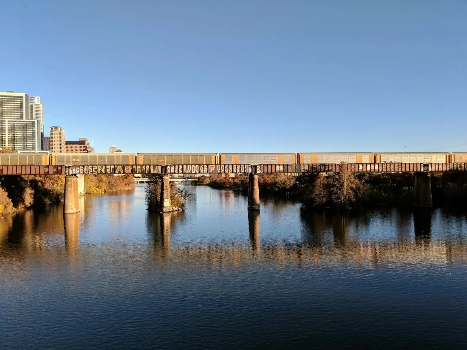
Austin water and rail context · Alex Wolfe · Unsplash
Find the address in the City's mapping tool
Austin's FloodPro service provides access to floodplain maps, storm-drain information, and available elevation certificates. The City's guidance explains how to search for an address and print a floodplain map. Begin with the exact parcel rather than a neighborhood name. Save the map with the date and the layers you used so another person can understand what you reviewed.
Sources: City of Austin: FloodPro maps and storm drains ↗ · City of Austin: floodplain management ↗
Record the question, not just the color
If a mapped boundary crosses or approaches the parcel, write down what you need clarified: the house footprint, an accessory structure, the driveway, or the land you hope to alter. A screenshot alone may not communicate the issue. Ask the City's floodplain staff or a qualified professional to help interpret the information for the location and proposed use.
Keep site drainage in the investigation
A map review and an on-site review answer different questions. Ask about drainage improvements, previous water entry, grading, gutters, and documentation of repairs. Have the property inspected and request specialist advice where the findings warrant it. Do not treat the absence of a particular mapped designation as a guarantee that water cannot affect the home.
Ask about insurance before the decision becomes urgent
Give your insurance professional the exact address and relevant property information. Ask which coverage questions need attention and obtain a property-specific quote rather than borrowing a neighbor's premium or a listing estimate. Coordinate with your lender on its requirements. This guide cannot determine a home's insurability, premium, or risk from a map label.
Keep the evidence together
Build a small file containing the dated map, any available elevation certificate, seller information, inspection findings, and written professional responses. Note which items are still unresolved. David can help organize the property conversation, while the appropriate City office, insurer, engineer, or surveyor answers the questions within their expertise. The result should be a clearer decision, not a false sense of certainty.
Take this to your next conversation
- Save the exact address, map layers, and review date.
- Investigate drainage and building condition separately.
- Resolve insurance and lender questions for the actual property.
Sources and review date
Sources checked . Planning suggestions are editorial guidance; current property facts and requirements need an address-specific check.
Prepared for the David Eimer Austin Journal from the linked sources.
Bring your questions